Bobba Bivouac, ring from Aveuil


Edited by:
Maurizio Bergamini
Updated at: 09/12/2024
Access
At the motorway exit of Châtillon, cross the village and take the Valtournenche road. Drive up the entire valley as far as Breuil-Cervinia: just before the village, before coming to a long avalanche tunnel, turn left and park your car in the large clearing.
Introduction
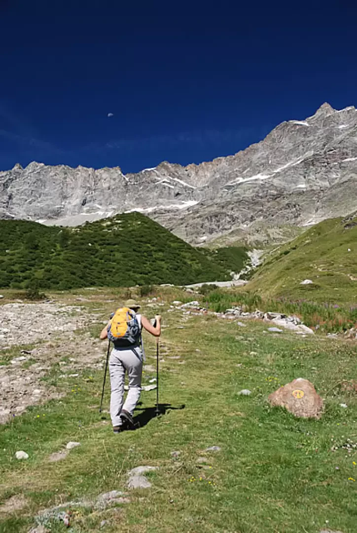
Circular route: Breuil-Cervinia -> rifugio Bobba -> Avouìl -> Breuil-Cervinia, which of course can also be tackled in the opposite direction. Our choice favours the uphill effort, leaving for the descent the part that is less steep, but a little longer in length.
Description
You ascend the wide asphalted esplanade following the signpost
as far as the bus parking area, where you turn left alongside the golf course. After a few minutes, turn left onto a dirt track following the signpost
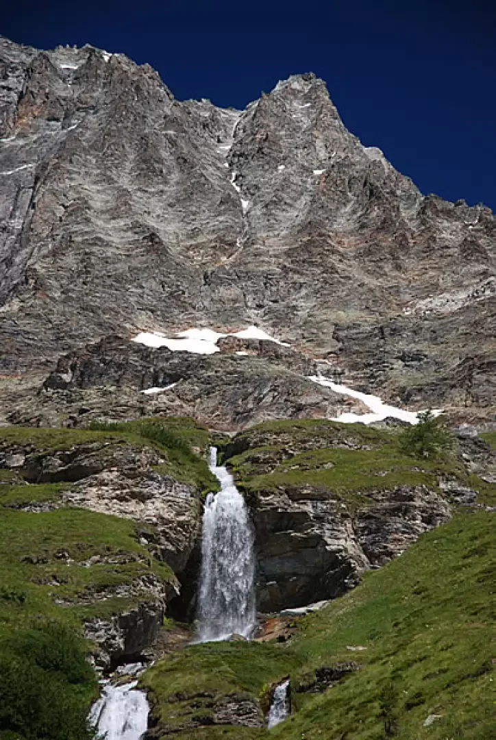
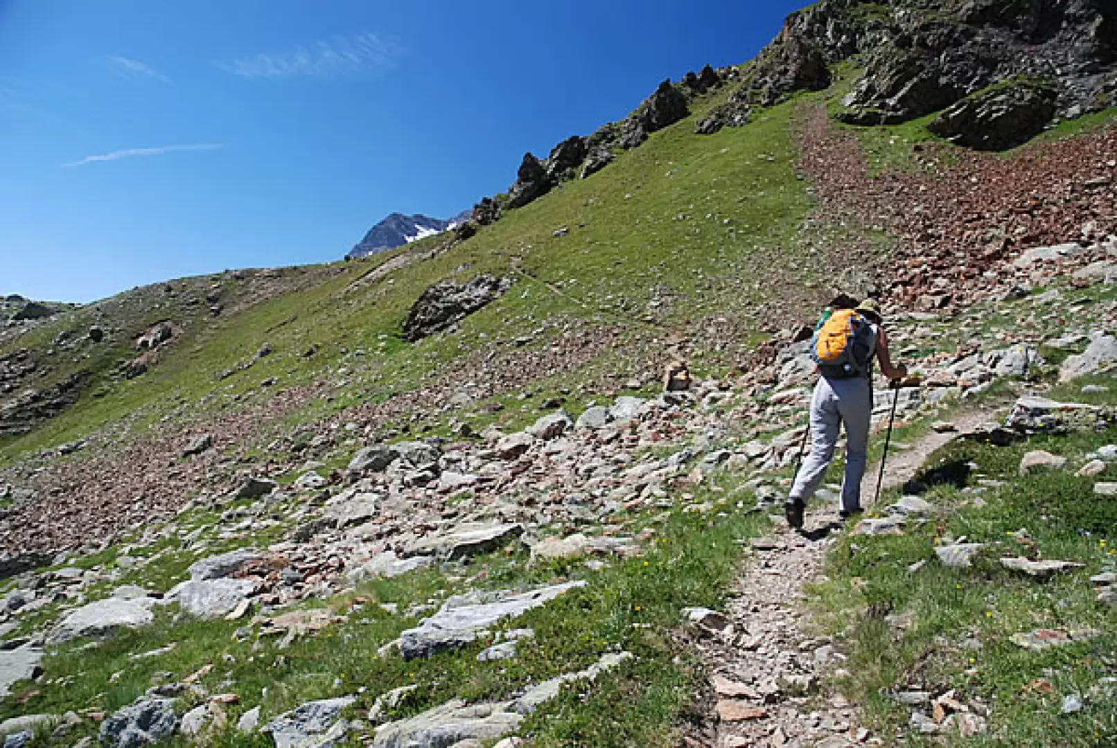
. After passing the subway of the avalanche deflector, cross the Torrent de Cherillon and start climbing up the track, leaving the golf course to the left. Climb up the dirt track until you reach the Morces mountain pasture (2065m, 0h15'): just before the mountain pasture, take the path that climbs up the little valley of the Torrent de Mabèrge, crossing the dirt track a few more times; then continue along the orographic right of the stream, passing at the foot of a beautiful little waterfall. Along this stretch, you pass a few rocky steps and soon reach the balcony path (formerly Alta Via ): turn left fording the Torrent de Mabèrge and climb up the alder-covered impluvium. After a couple of hairpin bends, the path reaches Mabèrge (2301m, 1h00'). Leave the path of the former Alta Via and begin to climb, skirting a morainic ridge; when you reach its apex, traverse to the left until you come to a first ford: cross it, paying attention to the greater influx of water during the hottest part of the day. Continue diagonally, passing a second stream, until reaching the ridge where the path
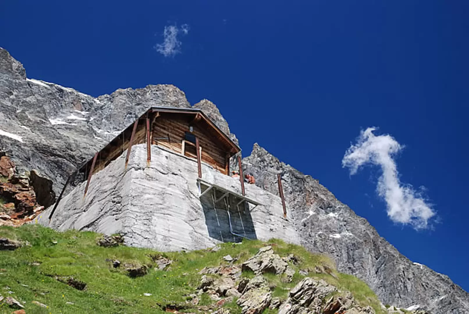
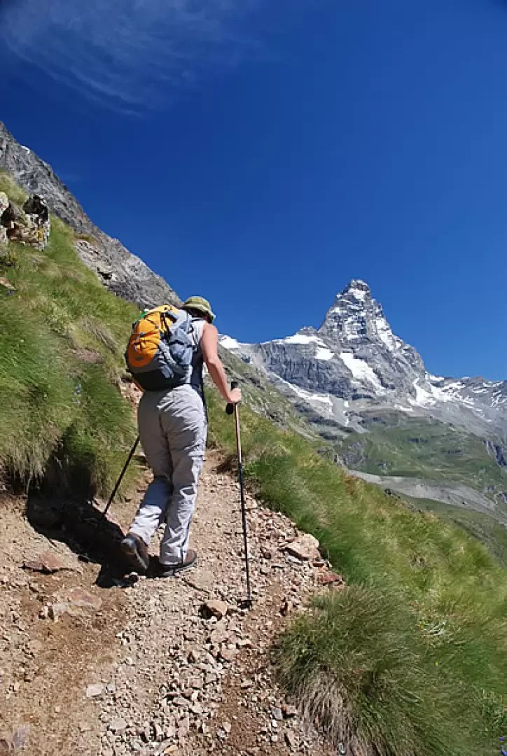
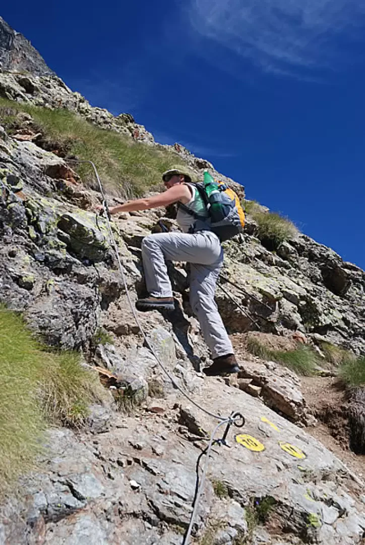
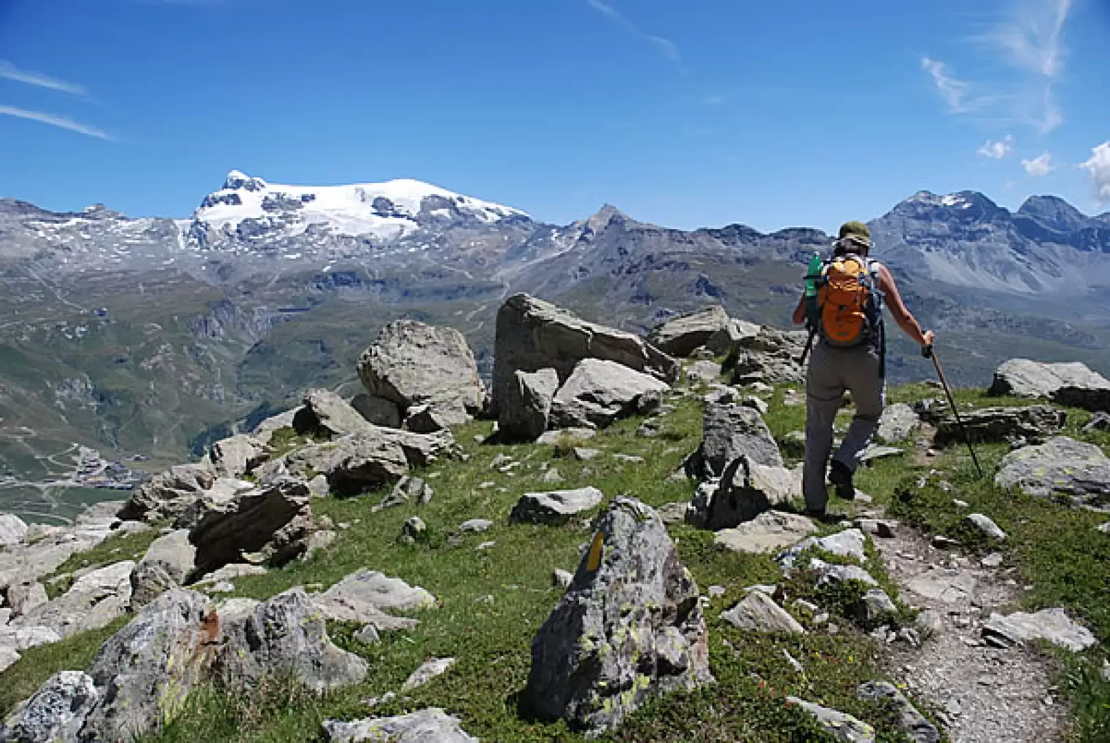
coming from Avouil (2610m, 1h45') is met. You now climb the last section of the itinerary with a series of steep bends. There are four short sections equipped with ropes before joining up at the foot of the hut: one last little effort and you will reach the Bobba hut (2771m, 2h15').
To return, descend again to the confluence of the two trails, then continue straight ahead following trail
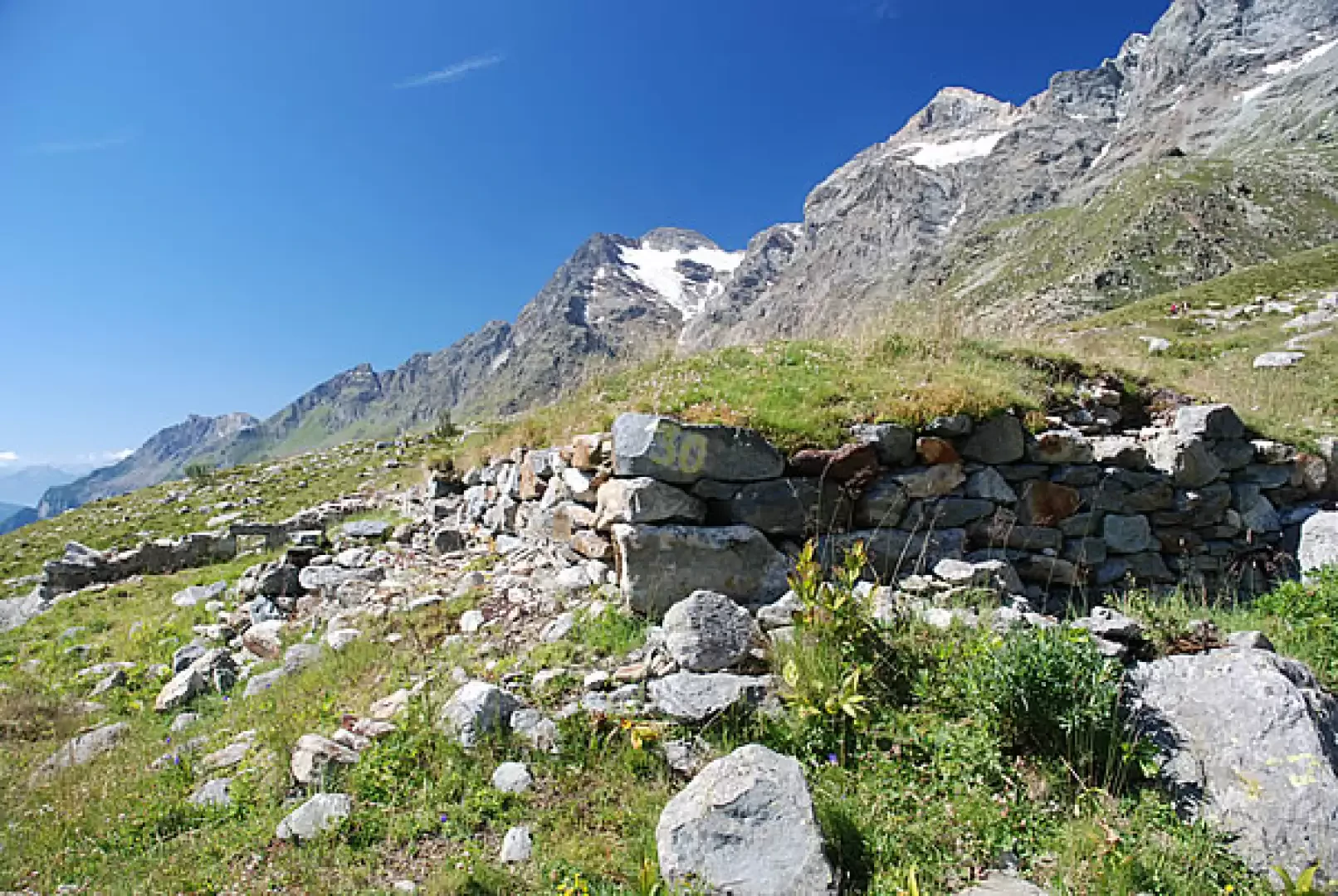
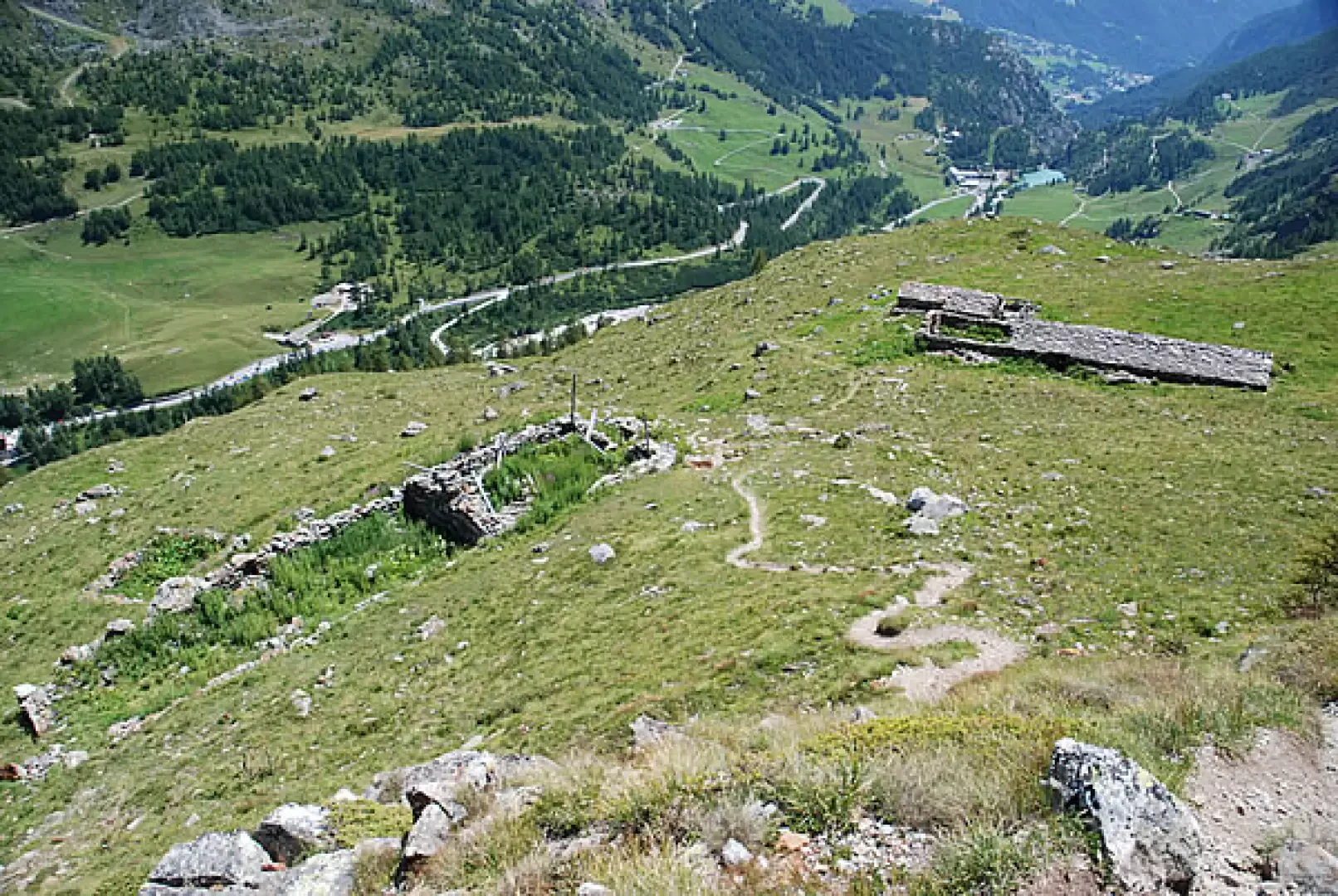
. The descent initially takes place on the ridge dotted with small boulders; this section is very scenic. Then the descent becomes steeper until you reach the ruined alpine pastures of Bayettes (2291m, 3h15'): just below the alpine pastures, you cross the path (ex Alta Via ), ignore it and continue the descent with path
that, after crossing the last pastures, enters the sparse larch wood until reaching Avouìl (1967m, 4h00'). Here, follow the dirt road as far as the bridge over the Marmore, then take the tarmac road, marker
, which reaches a petrol station and the regional road. Turn left and, shortly afterwards, you will find the wide open space encountered at the start. A short, level walk leads back to the point where you left your car.
Photo gallery
Comments (0)
Sign in to leave a comment